Posted May 31, 2023

By Sean Ring
The Line in America’s Sand
- No, America doesn’t have infinite land for mass immigration.
- Not if you want the people to survive and thrive.
- America’s geography shaped it as much as its history and economic system.
Good morning from gorgeous Asti!
It’s been a while, and I’ve missed you.
First, a quick catch-up. Micah, Pam, and I visited Annecy (appropriately pronounced [ON-sea]) in France. It’s a fantastic city on a lake that doesn’t get as much press as many other French destinations.
I’ll quickly walk you through it before I get to today’s piece.
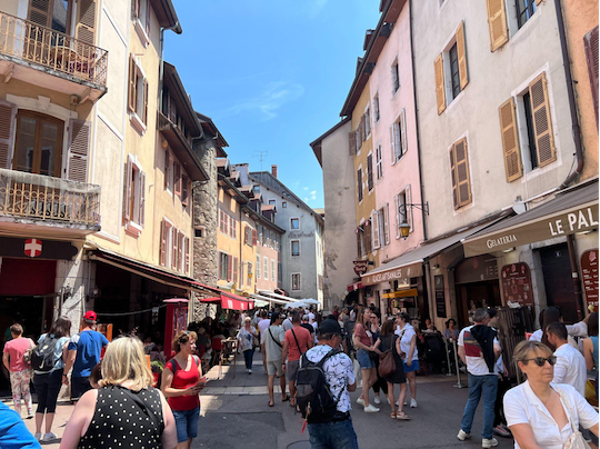
First, we walked through its old city, which still has its buildings from the Middle Ages.
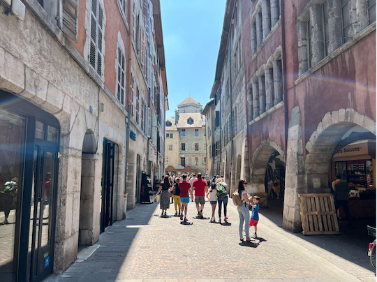
Then, we walked through the porticos, which were works of art themselves.

Next, we traveled to the island in the middle of the river.
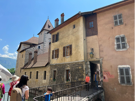
Then we walked through the island.
That’s the French version of Diagon Ally (for you Harry Potter fans out there).
Then we headed toward the lake via the river.
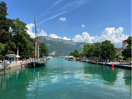
Then we were on Lac Annecy:
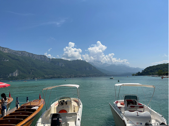
It’s a sensationally beautiful city. And it’s only about 45 minutes south of Geneva. For us, it was a 3.5-hour drive from Asti.
So that’s what I’ve been up to.
Of course, while I was gone, Speaker McCarthy allegedly struck a “deal” (his word, not mine) with Barely There Biden on the debt ceiling. But it’s more of the same as far as I’m concerned.
McCarthy’s Twitter followers crushed him in the comments of his announcement tweet; I’m not sure why he was so smug when he went on the Sunday morning talk shows.
But I’ll withhold my final judgment until the legislation finally passes.
Today, I’d like to talk about a simple geographical fact affecting everything about America.
Rainfall.
Surprised?
Let me show you.
Washington, D.C., Late 1990s
I was walking around Georgetown in the late 90s with my buddy Doc, who lived across the Potomac in Arlington, VA. We went into a bookshop, where I zeroed in on a book with a map on the cover. (You know how I love maps.)
The book was The Wealth and Poverty of Nations by David Landes. I only knew that Landes was a Harvard professor because it said so on the book's inside cover.
I didn’t know it was the textbook he taught his classes with.
I bought the book, and much to my surprise, I devoured it in a couple of days.
One of the main ideas of this book is that geography has a massive impact on countries. Now that’s a commonplace idea. Then, not so much.
That message always stayed with me wherever I went. And it helped me understand my new homes like London, Singapore, Barcelona, Hong Kong, the Phils, and Italy.
US Geography
I was on our editorial Slack channel with Rude contributor Byron King and Daily Reckoning Editor Brian Maher the other day when this very subject came up.
The UK Daily Telegraph’s Allister Heath had written an article in which he mentioned this:
America’s population will continue to grow, hitting 394 million by the end of the century.
To which Byron replied:
Such a depressing thought. Our half of the North American continent is full. Most people live where people can live, the usual places like coasts, big cities (big for a reason), and areas where they don't bake or freeze to death (except Minnesota). The rest of the USA is pretty much uninhabitable by large numbers of people. And we have maxed out everything... energy is a stretch, water/sewer systems are in crisis mode, the USA net-imports food, the medical system is overstretched, the US education system has broken down for large numbers, universities are Woke & broken, and what jobs? Our Savior Tech is laying off. Finance? (What is there to finance?) Services? (Ditto.) Manufacturing is strangled in the crib by enviro issues, NIMBY, etc. I could go on, but you get the point.
I immediately put on my geography hat.
Of course, and as usual, Byron was right.
It’s not just the area you have to worry about. It’s the resources you need to sustain the population.
The 100th Meridian
Look at this map:
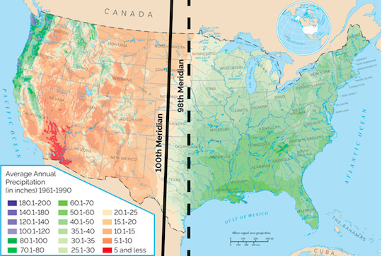
West of the 100th meridian, there simply isn’t enough rainfall to sustain a growing population.
And this isn’t a recent discovery.
From Earth Magazine:
In 1878, without the benefit of the Landsat program, GPS, or Google, and just a decade after the creation of the National Weather Service, John Wesley Powell first advanced the idea that the climatic boundary between the United States' humid East and arid West lay along a line “about midway in the Great Plains” — almost exactly 100 degrees longitude west of the prime meridian in Greenwich, England. This line, the 100th meridian, runs from pole to pole and cuts through six U.S. states, forming a partial boundary between Oklahoma and Texas. The 100th meridian also corresponds roughly to the 600-meter elevation contour as the land rises from the Great Plains toward the Rockies.
In his 1878 “Report on the Lands of the Arid Region of the United States,” Powell identified the “arid region” as the land west of the 51-centimeter-per-year rainfall line, which closely tracked the 100th meridian. This amount of rainfall per year is about the minimum that permits farming without irrigation, and it also greatly influences the types of crops that can be grown. The line Powell noted as dividing the arid and humid sections of the continent has become known as the “effective” 100th meridian.
Here’s Wesley’s original map:
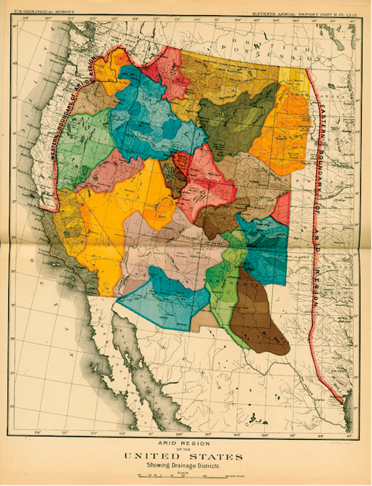
Credit: U.S. Geological Survey, via Earth Magazine
The 100th meridian is significant because it marks a distinct geographic boundary, commonly known as the "Great Plains Divide." It has critical implications for agriculture and settlement patterns in North America.
The primary significance of the 100th meridian lies in the division between the arid western regions and the more humid eastern regions of the United States. East of the 100th meridian, there is generally enough rainfall to support extensive agriculture without the need for irrigation. However, west of the meridian, precipitation decreases significantly, making it more challenging for agriculture to thrive without additional water sources.
This climatic difference has profoundly impacted the development of the United States. It influenced settlement patterns, with the meridian serving as a rough dividing line between the areas suitable for large-scale agriculture and those more suitable for ranching or other land use.
Furthermore, the 100th meridian has also played a crucial role in shaping water management policies and practices. The western side of the meridian relies heavily on irrigation to support agriculture, necessitating the construction of extensive irrigation systems and reservoirs to store and distribute water. This has led to complex water rights issues and challenges related to the sustainability of water resources.
California Dreaming
Not only does the idea of unlimited immigration seem stupid, but the electoral college looks even more brilliant an idea than before. Without a massive population, electoral votes are the only fair way to maintain the union.
But California takes the cake. It releases freshwater into the Pacific. On the surface of it, that seems dumb. Concerning Western water rights, it seems madness.
Why does California do this?
- Flood Control: California experiences periods of heavy rainfall, particularly during the winter months. When precipitation exceeds the capacity of reservoirs and other water storage systems, excess water must be released to prevent flooding. Controlled water releases into rivers and eventually into the Pacific Ocean help manage water levels and reduce the risk of catastrophic flooding in populated areas.
- Water Management: California has an extensive water management system that captures, stores, and distributes water throughout the state. Reservoirs and other storage facilities collect water during periods of ample rainfall or snowmelt, and this stored water is crucial for supplying urban areas, agriculture, and other water-dependent sectors during drier periods, such as the hot summer months. Controlled water releases into the ocean may be necessary to ensure a balanced and regulated water supply throughout the year.
- Environmental Considerations: Releasing water into the Pacific Ocean can benefit California's diverse ecosystems, including salmon. California has numerous rivers and streams supporting diverse ecosystems. By releasing water into the ocean, California can maintain environmental flows and preserve habitats for aquatic species.
These are the official reasons, anyway. But there must be a way to get the water further inland instead of returning it to the ocean.
Wrap Up
Mass, unlimited immigration simply can’t be done without acquiring, inventing, or securing the resources needed to maintain the population increase.
I’m sure there’s a technology that can currently fix this or hasn’t been invented yet.
But continuing to leave the border wide open to migrants and other visitors - and there are lots of them - is irresponsible to the point of insanity.

Fed’s “Stealth” QE Pushed Gold Above $3,400
Posted May 07, 2025
By Sean Ring
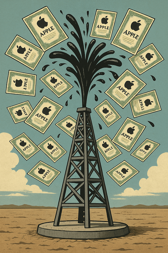
Turning Oil Into Apple
Posted May 06, 2025
By Sean Ring

Goodbye to the GOAT
Posted May 05, 2025
By Sean Ring
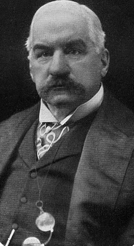
J.P. Morgan’s Last Rescue Mission
Posted May 02, 2025
By Sean Ring
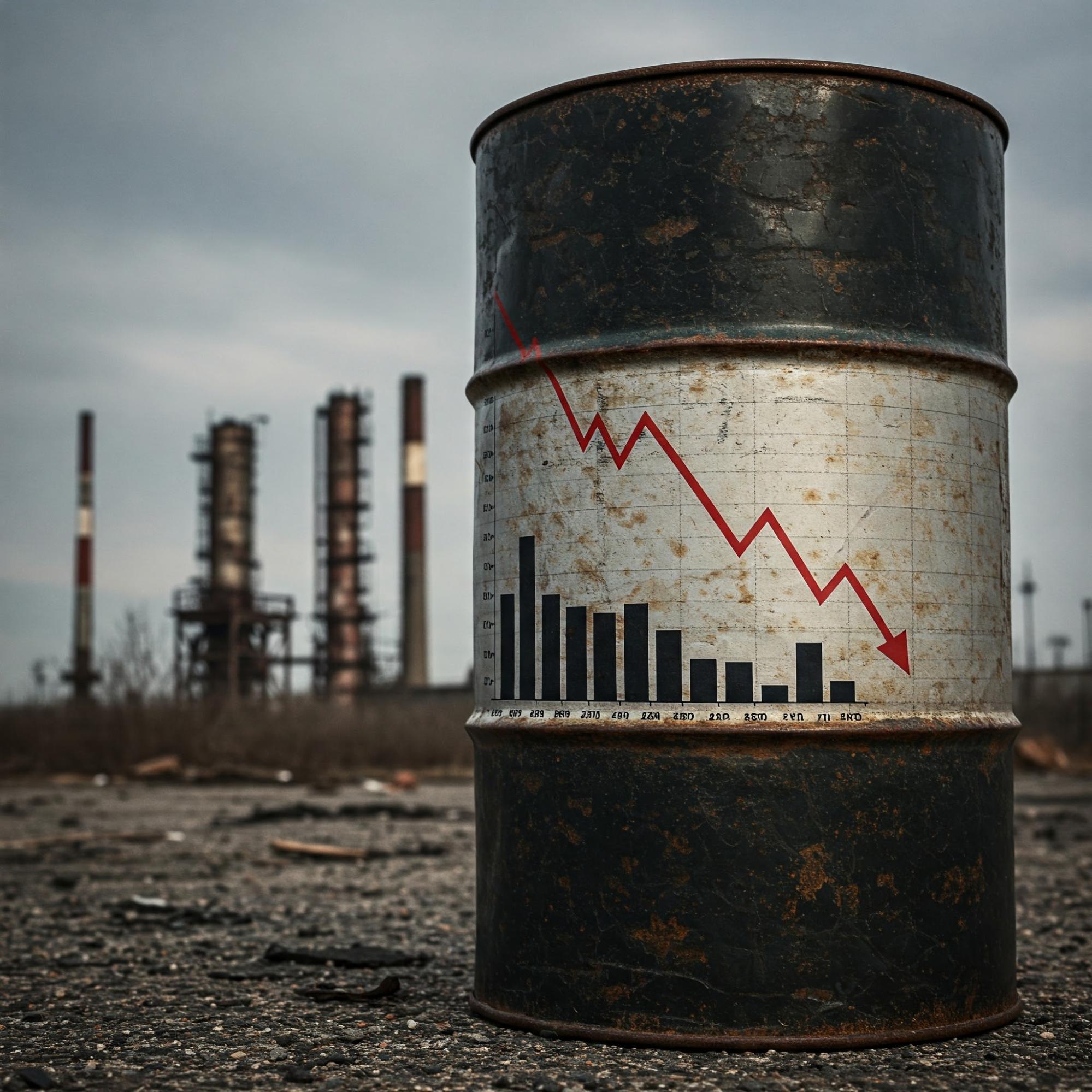
Black Gold, Black Death
Posted May 01, 2025
By Sean Ring